

The selection of manuscript maps shown below come from the William Smith archive at the Oxford University Museum of Natural History. Much of the material was originally in the possession of John Phillips and came to Oxford with Phillips when he was appointed to the Readership in Geology on the death of Buckland. In 1938 Leslie Cox and Prof J. A. Douglas investigated the contents of a packing case in an attic in the museum and discovered a voluminous amount of Smith’s manuscript material including his diaries for 1789, 1802-7 and 1809-21, also many letters, sections and manuscript versions of county maps. Some of the county maps appear to be original copies sent to the engraver for his Geological Atlas but there are also a number of incomplete maps not included in the atlas.
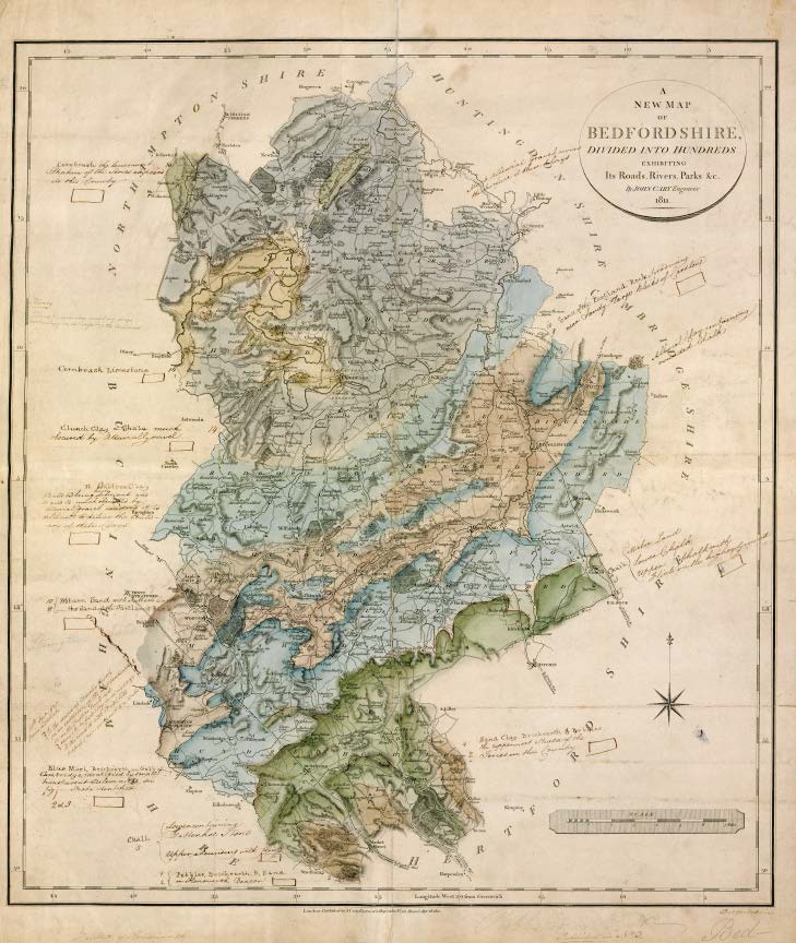
Bedford, 1811, (WSH11001) colouring completed, legend tablets drawn and annotated in freehand ready for the engraver.
![Buckinghamshire 1819 [1820] (WSH11002) virtually complete, some freehand additions and deletions.](http://www.strata-smith.com/wp-content/uploads/2015/02/image223.jpg)
Buckinghamshire 1819 [1820] (WSH11002) virtually complete, some freehand additions and deletions.
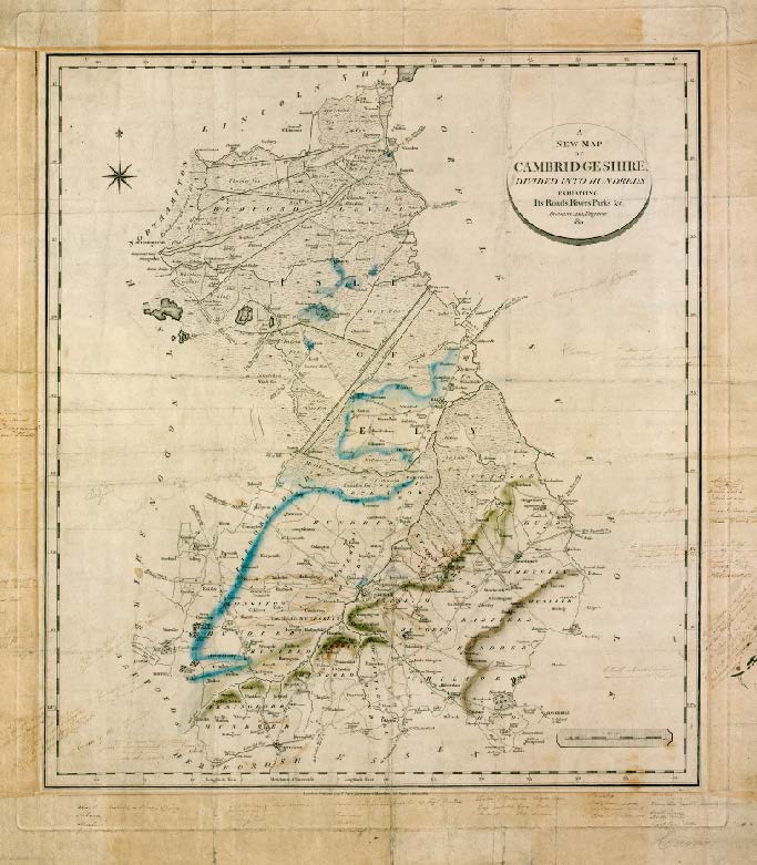
Cambridgeshire 1811(WSH11003), some colouring. Smith shows the “course of gault” and chalk quite accurately.
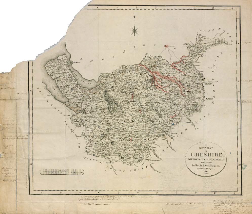
Cheshire 1811 (WSH11004), red coloured Triassic in some of the river valleys, blue coloured (marl/lst?) south of Astbury. Some pencil notes.
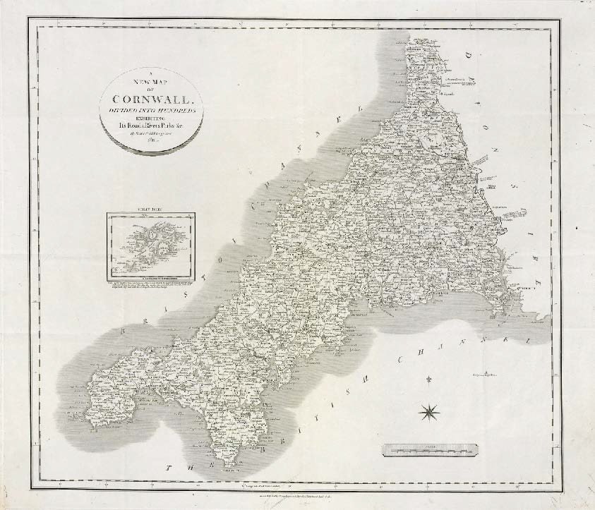
Cornwall 1811 (WSH11007), no colouring or notes except for handwritten abbreviated county name in bottom left corner.
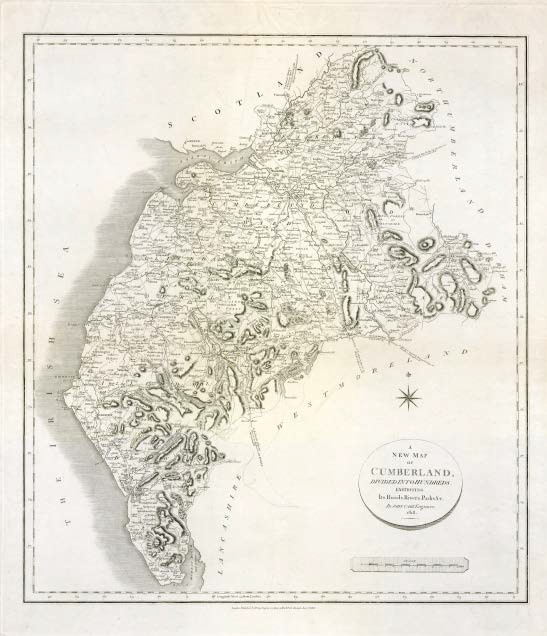
Cumberland 1818 (WSH11008), no colouring or notes.
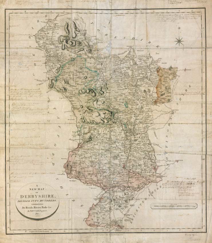
Derbyshire 1811 (WSH11009), geological colouring for Triassic, Magnesium Limestone and Mountain Limestone. Indication of collieries and mention of Millstone grit dated 1838.
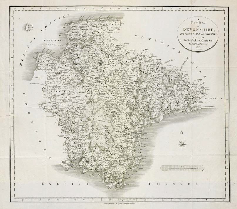
Devonshire 1817 (WSH11014), no colouring or notes except for handwritten abbreviated county name in bottom left corner.
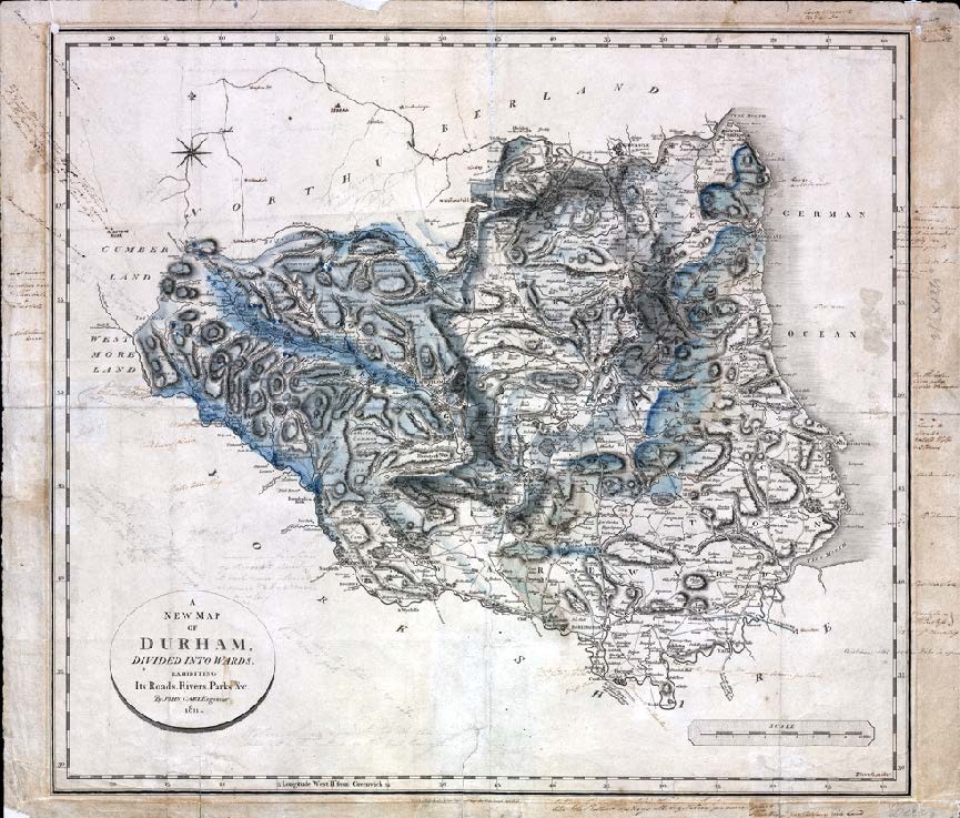
Durham 1811 (WSH11015), some geological colouring and notes * low resolution scan .
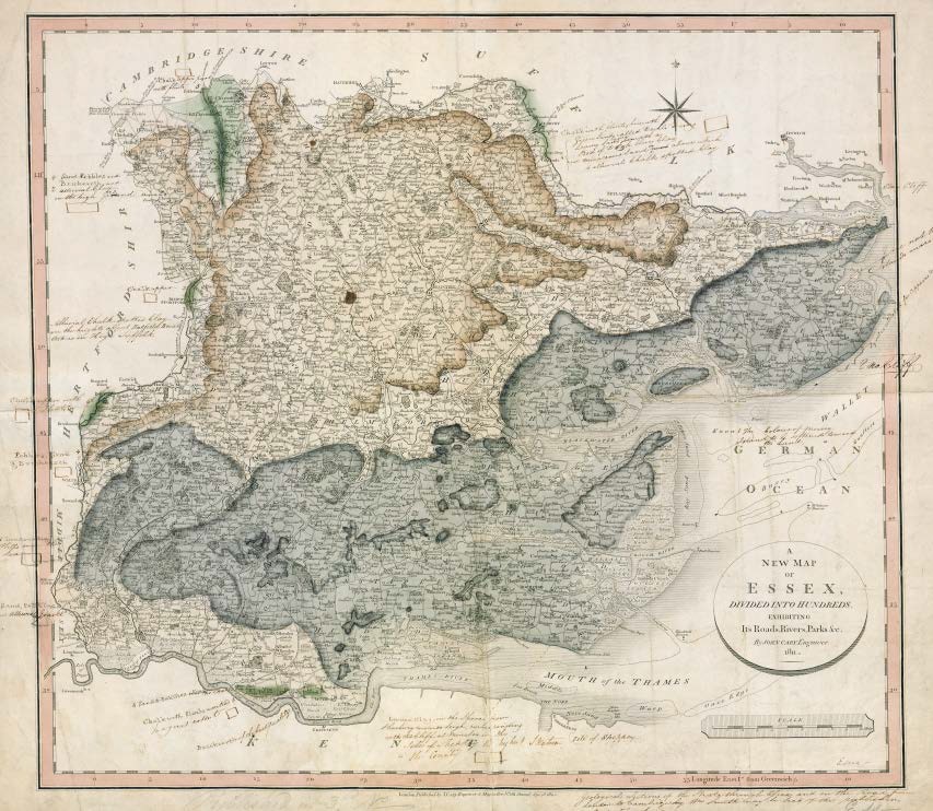
Essex (WSH11017), geological colouring mostly complete, hand drawn legend tablets and notes.
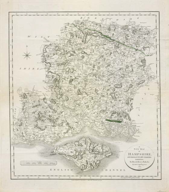
Hampshire 1811(WSH11019), minimal geological colouring confined to chalk on Portsdown Hill and the Kingsclere area.
![Herefordshire 1811 (WSH11020), small amount of geological colouring referring to [Silurian] limestone, handwritten notes. Reference in red to the Golden Vale.](http://www.strata-smith.com/wp-content/uploads/2015/02/image247.jpg)
Herefordshire 1811 (WSH11020), small amount of geological colouring referring to [Silurian] limestone, handwritten notes. Reference in red to the Golden Vale.
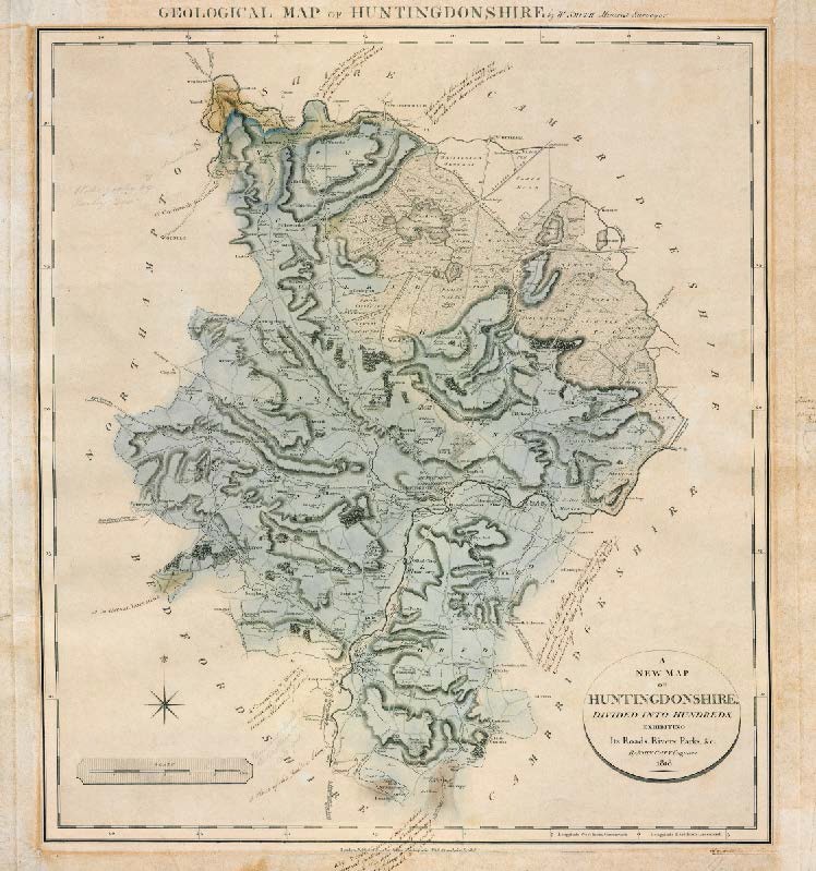
Huntingdonshire 1818 (WSH11024), geological colouring mostly complete, hand drawn legend tables and annotation.
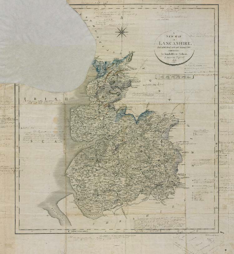
Lancashire, 1818 (WSH11025), geological colouring limited to a small amount of the Carboniferous Limestone and Millstone Grit in the Northwest. Extensive notes regarding minerals.
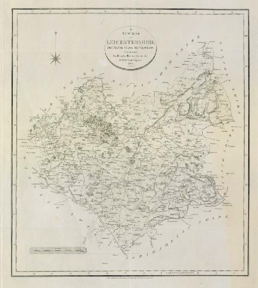
Leicestershire 1818 (WSH11027), blank map , abbreviated county name bottom right.
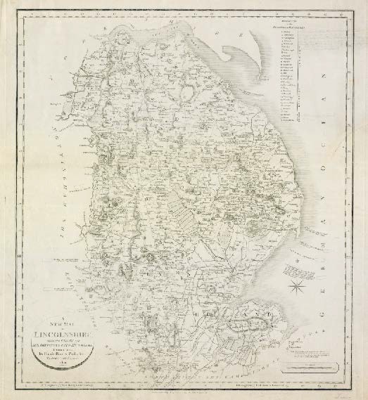
Lincolnshire 1820 (WSH11028), annotated and engraved legend tablets, uncoloured, no geological lines.
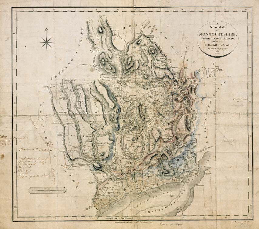
Monmouthshire 1811 (WSH11030) ,some colouring relating to the distribution of Trias and Carboniferous Limestone. Notes on turnpikes and railways.
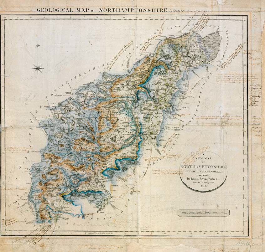
Northamptonshire 1818 (WSH11033), geological colouring mostly complete, hand written annotation for legend tablets, extensive notes.
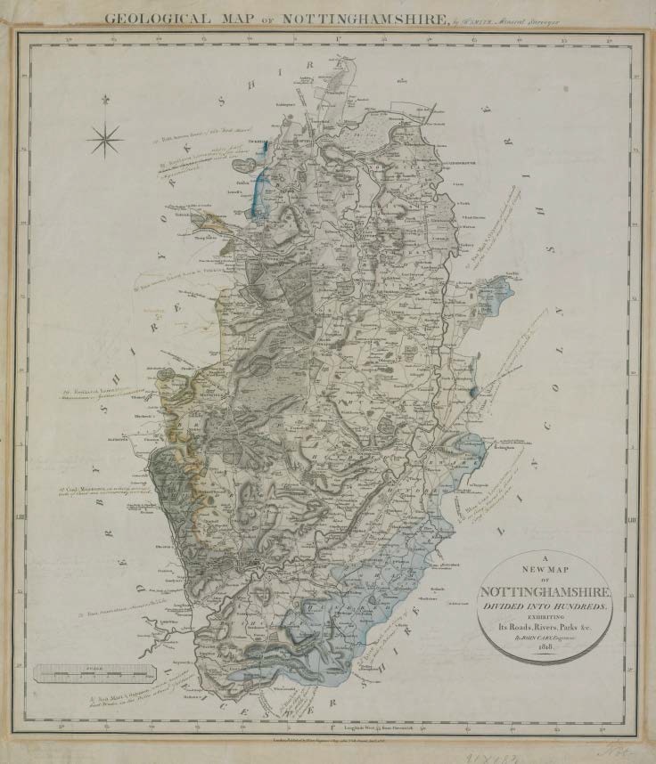
Nottinghamshire 1818 (WSH11024), geological colouring mostly complete, hand drawn legend tables and annotation.
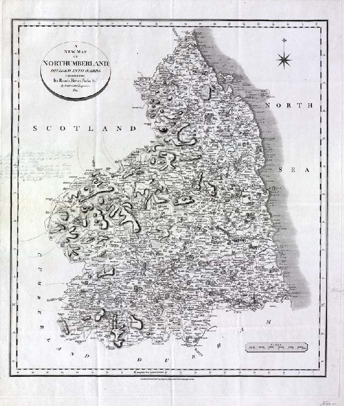
Northumberland 1811 (WSH11034), blank map, some notes *low resolution scan.
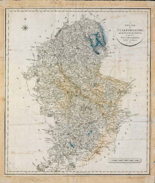
Staffordshire 1811 (WSH11041), some geological colouring relating to Trias and Carboniferous Limestone and addition notes.
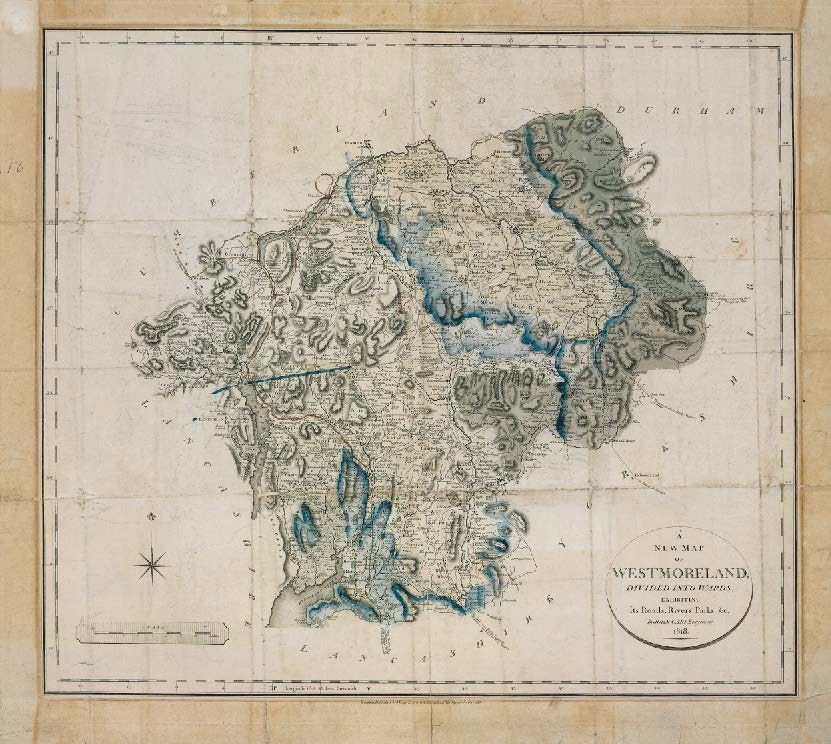
Westmoreland 1818 (WSH11044), incomplete, some geological colouring, some annotation.
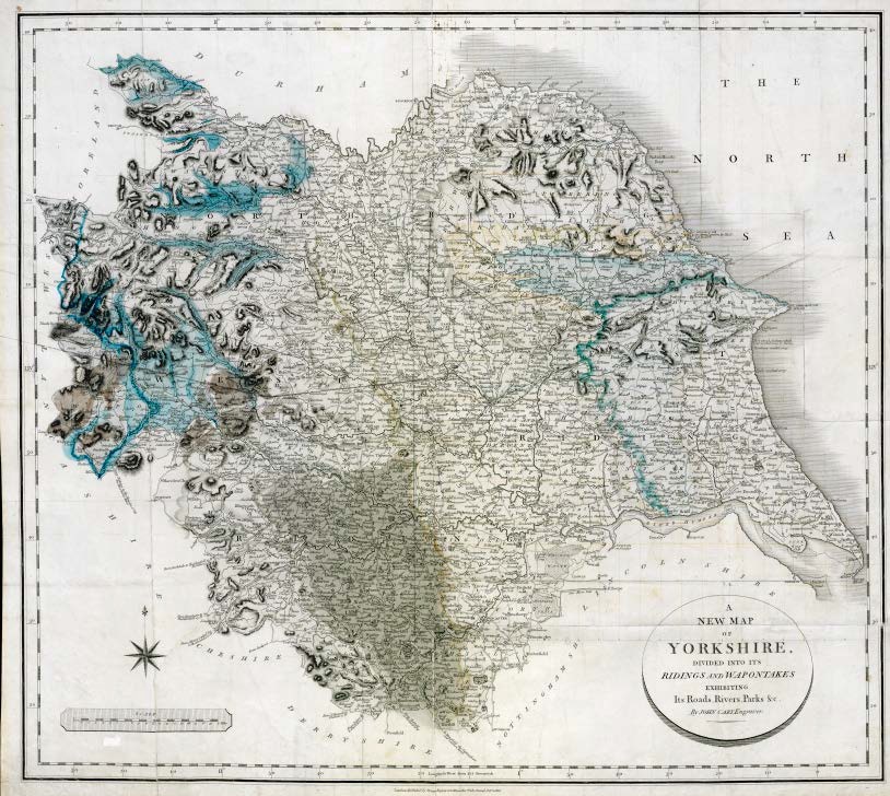
Yorkshire 1816 (WSH11045), early version some geological colouring, no legend tablets. Three sub-parallel lines, possibly lines of section.
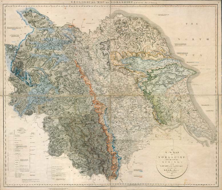
Yorkshire 1820 (WSH11046), geological colouring complete, extended legend (Coal Measures) engraved with no colours, engraved and coloured tablets with hand written changes.
