
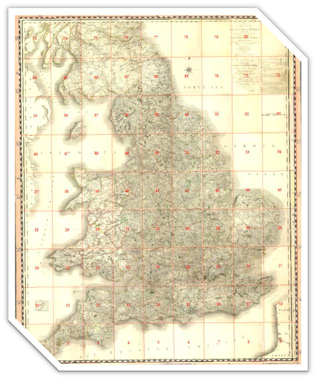
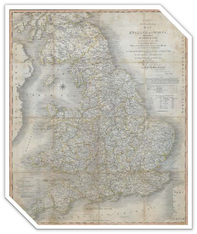

Cary’s New Map of England & Wales, with part of Scotland (81 plates) was the basis for the Smith 1815 base-map. The Reduction (1796)… comprehending the whole of the turnpike roads, with the great rivers & the courses of the different navigable canals: also, the market & borough towns, & principal places adjoining the road. Measuring 61.6 x 74.8 cm at a scale of 15 miles to one inch, this map was a third of the scale of that used by Cary in his New Map of England and Wales of 1794. The Reduction went through 17 issues and impressions between 1796 and 1844.
